Direct from the Rural Payments Agency
Pull your parcels by SBI. Field names, geometries, and reference numbers land in their place, ready for the map.
Sign in to manage your fields and workflows.
Fields, livestock, money, and compliance — tied together so the records are ready before the audit, not rebuilt after it.
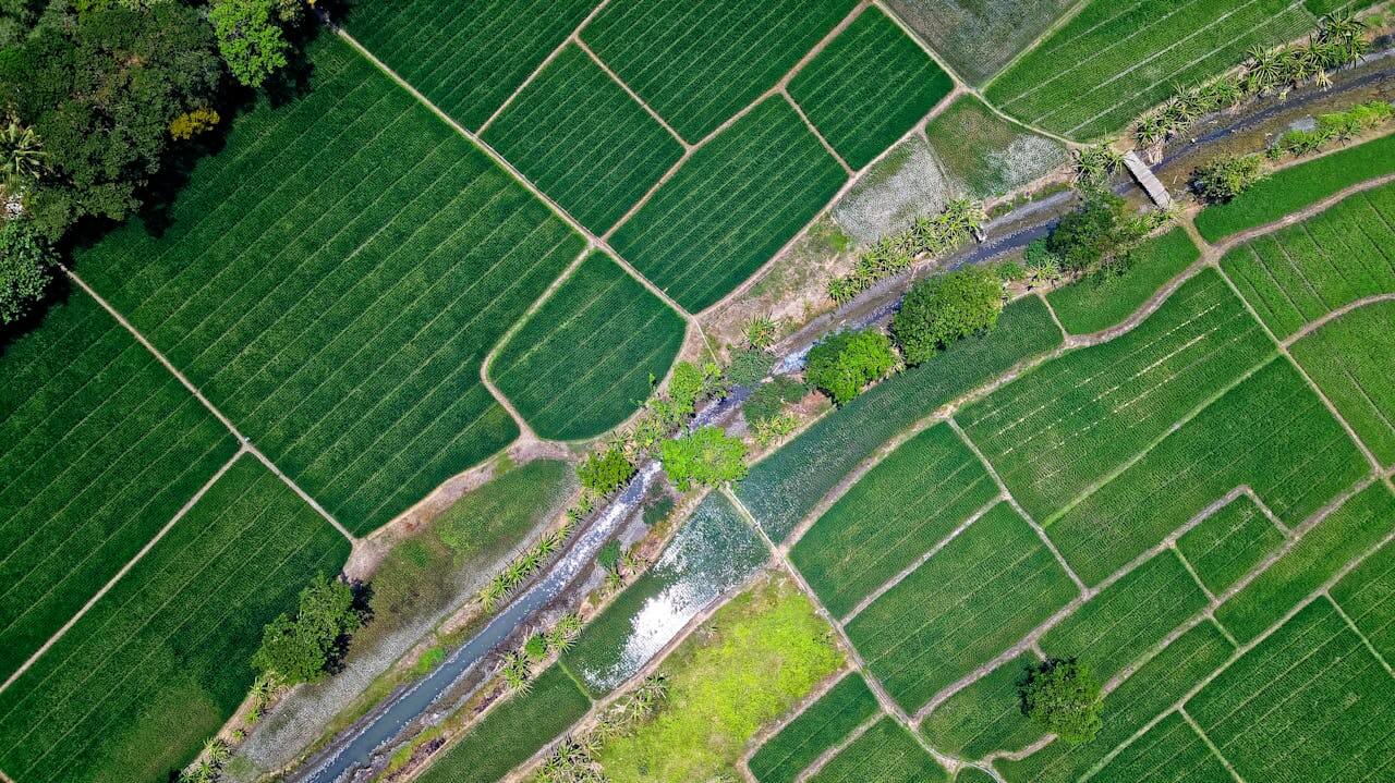
Import parcels straight from the RPA, upload GeoJSON or shapefiles, or draw on the map. Every field carries its own operations, soil tests, yields, and crop history — not just an acreage number.
Groups, weights, breeding events, illness records, and medicine batches with withdrawal dates. The 360° view your vet actually asked for, without paper.
Expenses and income tagged to fields or cost centres. Finance insights roll up by category and by time — compare this June's spray bill to last June's in one click.
Medicine compliance, withdrawal dates, spray record exports, SFI agreement tracking. The CSV the inspector wants is already the one on screen.
Bring in parcels from the RPA, GeoJSON and shapefiles from your GIS, or CSVs from the agronomist. Nothing to retype, nothing to reproject.
Pull your parcels by SBI. Field names, geometries, and reference numbers land in their place, ready for the map.
Drop in boundaries from any GIS. Coordinate system is auto-detected — no reprojection, no eyeballing.
Upload the standard ESRI bundle (.shp / .dbf / .shx / .prj). Attributes come across, so do projection hints.
Spreadsheet export from your agronomist? Drop it in. Header detection figures out names, areas, and geometry columns.
We're building in public. Every Founder seat funds another month of development. The paid plan is on the way once the core is stable.
£19.99/ month
Normally ~£39/month at launch. Founder rate locked for life. Cancel anytime.
From~£39/ month
Final pricing confirmed at launch. For multi-farm operators and agronomists.